United States
News Desk | Environment
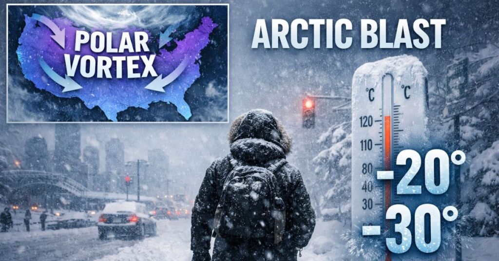
Central and eastern regions of the United States are bracing for an intensifying polar vortex event this week that is expected to usher in prolonged below-average temperatures, snow showers and hazardous winter conditions through late January, according to meteorologists and forecasters. The shift follows a period of unusually warm conditions in parts of the U.S. and is linked to a disrupted polar vortex pattern over the Arctic, officials said.
Forecast models show Arctic air driving waves of frigid temperatures across states from the upper Midwest through the Northeast and into the South over the coming days, with some communities facing the “coldest air of the season,” according to weather analysts tracking the system. The pattern has already begun to influence weather in states including Connecticut, where wind chills and snow showers were reported Friday, and is expected to peak in the first half of the week.
On Friday morning, observers reported gusty snow showers accompanying a reinforcing cold front moving through the Quad Cities and surrounding areas as polar air continued to spill southward. National Weather Service forecast offices indicated that the blustery conditions will persist alongside falling temperatures into the weekend.
The polar vortex is a large area of low pressure and cold air normally confined to the Arctic. When it becomes disrupted — often due to stratospheric warming events — lobes of cold air can break away and plunge into lower latitudes, bringing sharp temperature drops and wintry conditions. Analysis from global forecast data shows a breakdown in the circulation that has allowed Arctic air to surge farther south across North America and parts of Europe, according to recent meteorological assessments.
In addition to frigid air, light snow and winter weather advisories are in effect for parts of the Northeast and Midwest, with forecasts calling for accumulations in some areas this weekend and early next week. While no major winter storms have been projected at this time, officials warn that conditions could change as the cold air continues to interact with moisture from the Gulf of Mexico and Atlantic.
The impacts of the polar vortex event are expected to be broad. Residents across the affected regions should prepare for hazardous travel conditions, bitter wind chills and increased energy demand. Cities farther south, including parts of the Southeast, could experience near-freezing temperatures and the potential for light snow or sleet, a rare occurrence for some areas this far south.
Meteorologists say the pattern will likely persist into late January as the polar vortex remains active, with some forecasts indicating that this could be one of the more significant cold periods of the winter season. Continued monitoring of atmospheric conditions will determine how the outbreak evolves.
ALSO READ: The Unraveling — What’s the Story of Jen Shah?
Hannah Price is a digital journalist who covers breaking news, global events, and trending stories with accuracy and speed. She has previously contributed to several online magazines and has built a reputation for verifying facts before publishing. Hannah believes in responsible reporting and aims to present stories in a way that readers can trust.